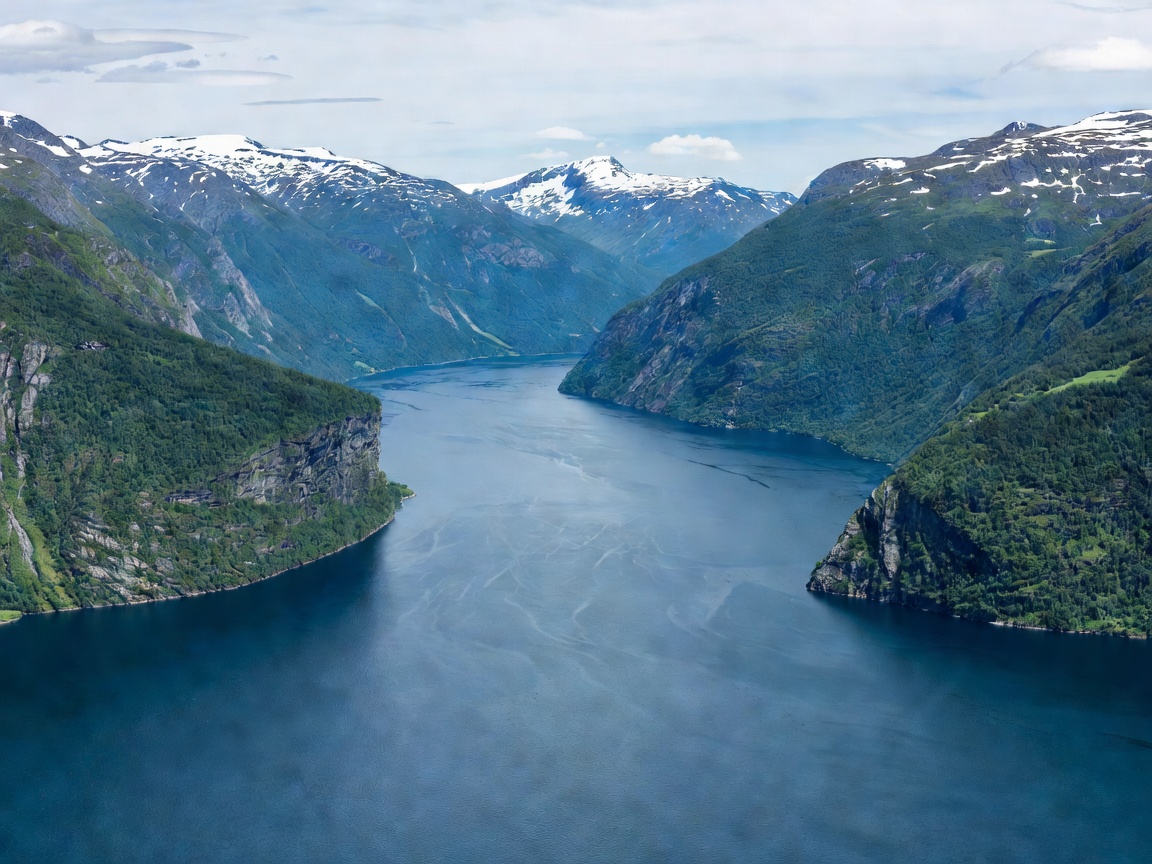
Continental Scale & Submarine Topography
Known across Scandinavia as "Kongen av fjordene" (The King of Fjords), Sognefjord is an immense geological feature. Reaching a maximum bathymetric depth of 1,308 metres beneath sea level near its central basin, it features an underwater threshold near its mouth that rises to roughly 100 metres below the surface. This massive submarine basin traps dense saline oceanic waters beneath lighter, brackish surface layers fed by hundreds of glacial meltwater streams.
Because of its immense length, the fjord encompasses multiple climatic zones. The coastal reaches at Solund and Lavik experience mild, windy oceanic conditions with high winter rainfall, while inner branches such as Lærdal and Luster sit within a continental rain shadow, recording surprisingly low annual precipitation.
Principal Branches & Regional Hubs
Rather than a single uniform channel, Sognefjord functions as a central marine artery radiating multiple picturesque tributary fjords:
- Balestrand & Fjærlandsfjord: Positioned on the northern shore, Balestrand became an iconic base for 19th-century landscape painters. Heading north into Fjærlandsfjord leads directly to the glacial tongues of Jostedalsbreen, mainland Europe’s largest ice cap.
- Lustrafjord: The innermost eastern branch of Sognefjord leads to Skjolden. Along its shores sits Urnes Stave Church, dating from the 12th century and protected as a UNESCO World Heritage site for its masterwork medieval timber craftsmanship.
- Aurlandsfjord & Nærøyfjord: Branching to the south, these channels lead directly to the rail junction of Flåm and the heritage corridor of Gudvangen.
Cultural Heritage: Stave Churches & Orchard Hamlets
The protected microclimates along the middle and inner Sognefjord allowed prosperous communities to develop throughout the Middle Ages. In addition to Urnes, the region hosts Borgund Stave Church (near Lærdal) and Kaupanger Stave Church, illustrating how timber architecture adapted to alpine precipitation. Small towns like Vik and Leikanger remain agricultural centres known for stone fruit cultivation and artisan berry harvesting.
Transit Dynamics: Express Boats vs Scenic Highway Routes
Fjord Catamaran Advantages
- Direct express service from Bergen's Strandkaiterminalen deep into Sogndal and Flåm.
- Complete avoidance of winding mountain roads and single-lane tunnel passages.
- Comfortable climate-controlled cabins with panoramic waterline windows.
Driving Route Constraints
- Frequent car ferry crossings (e.g., Fodnes-Mannheller) requiring timed coordination.
- Significant route detours when driving around extended fjord arms.
- Snow road closures (such as the Aurlandsfjellet route) into early summer.
Planning Considerations
Because of Sognefjord’s vast physical footprint, trying to explore every branch in a single weekend is impractical. Travellers are advised to choose a central base—such as Balestrand, Sogndal, or Aurland—and spend three to five days exploring local ferry crossings, glacier museum excursions, and cultural walking trails.