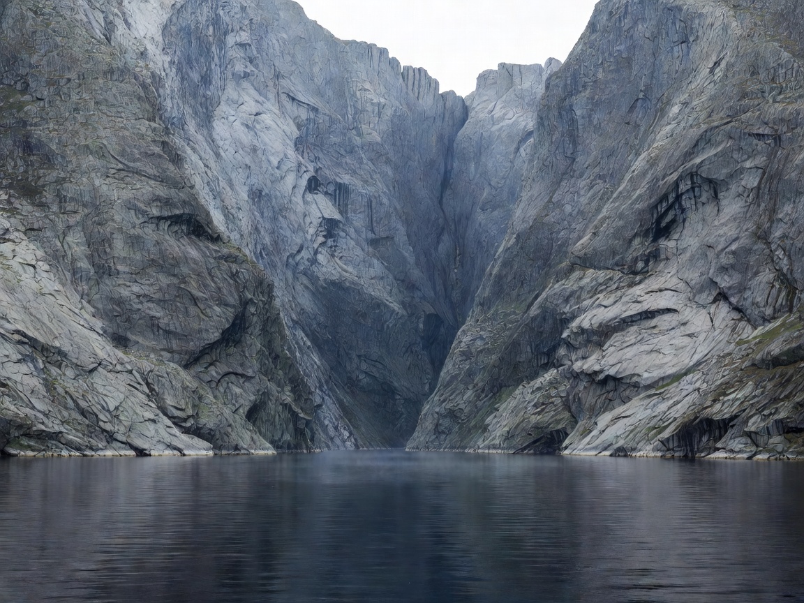
Geological Character & "The Light Fjord"
The name Lysefjord translates roughly to "light fjord," thought to derive from the pale, barren granite slabs that dominate both northern and southern shorelines. Unlike the lush, orchard-lined banks of Hardangerfjord, Lysefjord is rugged, austere, and intensely vertical. Over tens of thousands of years, glaciers gouged a deep fissure into the bedrock, leaving nearly vertical walls that exceed 1,000 metres in height without intermediate terraces or foothills.
Because road construction along the water's edge is rendered physically impossible by the cliff geometry, transport throughout the length of Lysefjord relies on car and passenger catamarans running between Lauvvik, Forsand, Songesand, and Lysebotn at the fjord head.
Iconic Landmarks: Preikestolen & Kjerag
Lysefjord is globally renowned for two monumental natural rock formations:
- Preikestolen (Pulpit Rock): A massive square plateau measuring roughly 25 by 25 metres, jutting out 604 metres above the fjord water. The trail begins at Preikestolen BaseCamp and covers approximately 8 kilometres round-trip with an elevation gain of 350 metres. Constructed stone stairways built by Sherpa trail artisans provide a secure route over formerly boggy sections.
- Kjerag & Kjeragbolten: Situated at the inner end of Lysefjord, Kjerag reaches an elevation of 1,084 metres. Its most famous feature, Kjeragbolten, is a five-cubic-metre glacial erratic wedged tightly into a mountain crevasse suspended nearly a thousand metres directly over the fjord abyss. The hike begins at Øygardstøl and is significantly steeper than Preikestolen, featuring chain-assisted scrambles over slick granite slabs.
- Flørli 4,444: On the roadless southern shore, the village of Flørli features the world’s longest continuous wooden staircase. Consisting of 4,444 steps alongside old hydropower water pipes, it climbs 740 metres straight up the cliff face.
Trail Complexity & Safety Comparison
| Destination | Distance (Round Trip) | Elevation Gain | Trail Difficulty Rating |
|---|---|---|---|
| Preikestolen | 8.0 km | 350 m | Medium (Family-friendly with proper boots) |
| Kjeragbolten | 11.0 km | 800 m total undulating | Demanding (Exposed rock, chain assists) |
| Flørli Stairs | 3.0 km circuit (stairs up, trail down) | 740 m vertical | Strenuous (Extreme cardiovascular climb) |
Logistical Access from Stavanger and Ryfast
The opening of the Ryfast sub-sea tunnel system has simplified ground access to Lysefjord. The undersea tunnel links Stavanger directly to Strand municipality, reducing transit times to Preikestolen BaseCamp to roughly 40 minutes by automobile or scheduled direct express coach. Reaching Kjerag requires either taking the scenic tourist car ferry into Lysebotn or navigating the high mountain road Fv500 from Sirdal, which is only open during snow-free summer months.
Summary Preparation Advice
Due to exposed smooth granite slabs on both Preikestolen and Kjerag, wet weather turns mountain trails slippery. Sturdy hiking footwear with vibram or high-grip rubber outsoles is essential. Wind- and waterproof layers are mandatory regardless of summer morning temperatures in Stavanger.