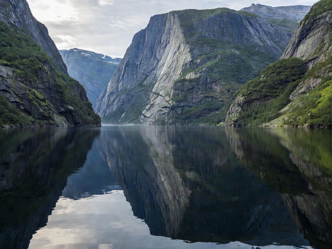
Physical Geography & The Enclosed Canyon
Branching off Aurlandsfjord (itself an arm of the vast Sognefjord), Nærøyfjord stretches 18 kilometres from Beitelen to the terminal village of Gudvangen. The physical scale of this fjord is distinctive: mountain peaks such as Bakkanosi ascend to roughly 1,760 metres directly from water level. At its narrowest bottleneck near Bakka, the navigable channel is only 250 metres wide, creating an intense sense of enclosure unmatched in northern Europe.
Because the fjord walls are so vertical, significant portions of the shoreline never receive direct sunlight during winter months. This sheltered geography dampens open ocean swells, creating exceptionally glassy, mirror-like water surfaces ideal for low-wake navigation.
Transit Architecture: The Flåm to Gudvangen Route
The standard way to explore Nærøyfjord is the waterway connection between Flåm and Gudvangen. Over the past decade, this corridor has become a showcase for zero-emission maritime engineering. Modern electric catamarans—built with carbon-fibre hulls and extensive tiered panoramic walkways—traverse the route silently, eliminating diesel engine drone and exhaust fumes that previously lingered in the steep gorge.
Key waypoints along this route include:
- Gudvangen: Located at the head of Nærøyfjord, nestled at the base of the Nærøydalen valley, serving as the southern terminus for electric ferries and shuttle buses linking to Voss.
- Bakka: A tiny settlement on the western shore featuring an 1859 wooden church and a narrow roadside ledge accessible via a small tunnel. It serves as the trailhead for ascending Rimstigen.
- Dyrdal & Styvi: Remote roadless farm hamlets along the eastern wall that rely entirely on marine postal and ferry services for land transport.
Hiking the Rimstigen Trail
For those seeking elevation, the Rimstigen trail starts near Bakka and climbs relentlessly up the steep northern wall. Gaining over 720 metres of elevation in under 2.5 kilometres of trail length, Rimstigen was historically used by farmers to move livestock up to summer pastures. The path is demanding, requiring sturdy footwear and surefootedness, but rewards hikers with an uncompromised bird’s-eye perspective across the narrows of Nærøyfjord.
Navigational Comparisons & Vessel Types
| Vessel Type | Typical Transit Duration | Noise & Environmental Impact | Recommended Traveler |
|---|---|---|---|
| Battery-Electric Catamaran | 2 Hours | Near-zero acoustic signature; zero localized emissions | Sightseers, photographers, transit passengers |
| Sea Kayak Expedition | 1 to 2 Days | Zero impact; allows shoreline wild camping | Experienced outdoor enthusiasts |
| Classic Heritage Ferry | 2 Hours 15 Mins | Traditional diesel drive; spacious open vehicle decks | Travellers touring with personal vehicles |
Logistics and Connections
Nærøyfjord integrates cleanly into the classic "Norway in a Nutshell" transit sequence. Travellers commonly ride the Bergen Railway to Myrdal, descend on the Flåmsbana railway into Flåm, board the electric cruise vessel through Nærøyfjord to Gudvangen, and return via bus through the stalheimskleiva valley toward Voss.