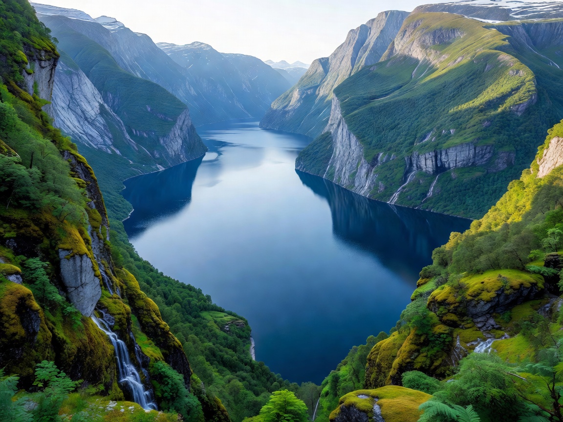
Geographical Character & Geological Origins
Carved during successive quaternary glacial cycles, Geirangerfjord cuts deeply into the Sunnmøre alpine region. Unlike wider maritime bays, Geirangerfjord features near-vertical rock faces dropping directly into waters that reach depths over 260 metres. The narrow marine corridor creates a distinct microclimate: cold mountain downdrafts funnel through the valley while moisture-laden ocean air condenses along the ridges, feeding perpetual cascades.
The fjord is inscribed alongside Nærøyfjord as part of the West Norwegian Fjords UNESCO World Heritage property, selected as an archetypal landscape that showcases pristine glacial fjord development without modern industrial impoundments along its visible perimeter.
Iconic Features: Waterfalls & Cliffside Farms
As you navigate by passenger ferry or low-emission electric sightseeing cruiser, two major waterfall systems dominate the cliff line. De syv søstre (The Seven Sisters) cascades down the northern wall in seven distinct braided streams from a height of approximately 250 metres. Opposite the Seven Sisters sits Friaren (The Suitor), a bottle-shaped waterfall framed by legend and geological fissures.
Perched precariously on narrow ledges hundreds of metres above the waterline are historic farms such as Skageflå and Knivsflå. Active until the early 20th century, these homesteads relied on hand-hewn steps carved into cliff faces and rope ladders. Today, preserved trail routes allow experienced hikers to ascend from waterside landings up to Skageflå, offering dizzying vantage points directly above tourist vessels below.
Strategic Viewpoints: Approaching by Road
Arriving by land requires navigating high-altitude mountain passes featuring dramatic engineering works:
- Ørnesvingen (Eagle Road): Descending toward Geiranger village from Eidsdal via eleven hairpin turns, this viewpoint provides an elevated view of the fjord's western bend, the village basin, and the Seven Sisters waterfall.
- Flydalsjuvet: Located south along County Road 63, Flydalsjuvet offers a classic tiered photographic perspective over the chasm, with walking platforms suspended over the drop.
- Dalsnibba (Geiranger Skywalk): Reached via a seasonal toll spur road climbing to 1,500 metres above sea level, Dalsnibba provides an alpine perspective overlooking snowfields, mountain tarns, and the distant fjord mouth.
Travel Considerations: Seasonal & Cruise Realities
Key Advantages
- Unrivalled vertical relief and waterfall density.
- Exceptional road viewpoints easily accessible by vehicle during peak summer.
- Regulated zero-emission standards reducing large ship emissions.
Key Constraints
- Intense midsummer vehicle and passenger congestion in Geiranger village.
- High mountain roads (Fv63) generally closed from November to May due to avalanche hazards.
- Limited inner-village accommodations without early reservations.
Summary Recommendations
For independent travellers, the optimal visiting window runs from late May to mid-September. Late spring yields maximum waterfall volume driven by alpine snowmelt, while September provides autumn foliage across the birch tree treeline and reduced maritime traffic.